Cold front to bring storms to southern Brazil during holiday weekend
A weak cold front is expected to bring heavy rain, strong winds and hail to southern and southeastern Brazil over the long holiday weekend, with no significant temperature drop forecast.

KEY POINTS
- A cold front is forecast to reach Brazil on Friday, November 20, and advance toward the southeast over the weekend.
- Rio Grande do Sul, Santa Catarina and Paraná face the highest risk of heavy rain, wind gusts above 90 kilometers per hour and hail.
- Precipitation accumulations may exceed 100 millimeters in parts of Rio Grande do Sul and 70 millimeters in 24 hours in southern localities.
- In Minas Gerais, rain volumes may exceed 50 millimeters in 24 hours.
- No significant temperature drop is expected because the associated polar air mass will be weak.
A new cold front is expected to reach Brazil on Friday, November 20, bringing storms to southern states and gradually advancing toward the southeast over the weekend. The system is forecast to form between southern Brazil and Paraguay, favoring heavy rain, wind gusts and hail. Rio Grande do Sul, Santa Catarina and Paraná are among the states requiring greater attention during the extended Black Consciousness Day holiday.
The cold front is expected to advance along the coast of São Paulo on Saturday, November 21, and reach Rio de Janeiro during the afternoon. On Sunday, November 22, the system is expected to move away toward the ocean, between the coasts of Rio de Janeiro and Espírito Santo. Despite the arrival of a new cold air mass, no significant temperature drop is expected because the polar air associated with the front will be weak.
“At this time of year, there is a lot of moisture circulation, which favors rain showers that can be strong, mainly in the afternoon and at night.”
The main impact will be increased atmospheric instability, especially in the South Region. Inmet forecasts rain in areas of Rio Grande do Sul and Santa Catarina. The combination of humidity, heat and the advance of the frontal system may favor storm formation, while much of Brazil will continue to record high temperatures and a feeling of stuffiness.
Rio Grande do Sul is expected to concentrate some of the most intense impacts. Climatempo indicates the possibility of heavy rain, wind gusts above 90 kilometers per hour and hail in areas of the state on Friday. In parts of northern and northeastern Rio Grande do Sul, precipitation accumulations may exceed 100 millimeters.
In Santa Catarina, the west and south regions are also expected to face conditions favorable to storms, with risks of flooding and disruptions caused by excess rain. In Paraná, instability should mainly affect the west and south areas, although showers may also occur in other regions of the state.
Inmet projections indicate accumulations above 70 millimeters in 24 hours in localities of the South. In Minas Gerais, volumes may exceed 50 millimeters in the same interval, mainly where instability areas remain for longer. The Center-West and regions of the North and interior of the Northeast may also record storms.
3 more sources below
COMMENTS (0)
No comments yet. Be the first.
RELATED STORIES
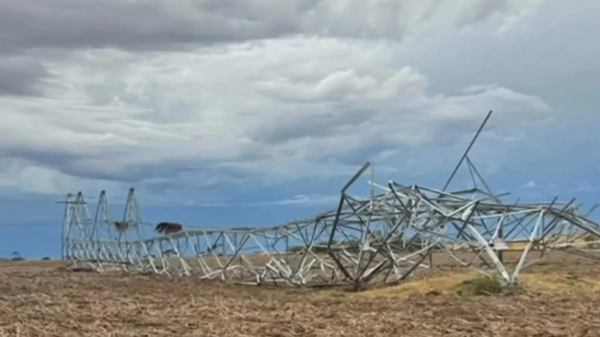
Storm topples towers, leaves thousands without power in South Australia
A severe storm knocked down transmission towers on South Australia’s Eyre Peninsula, cutting power to more than 24,000 properties.
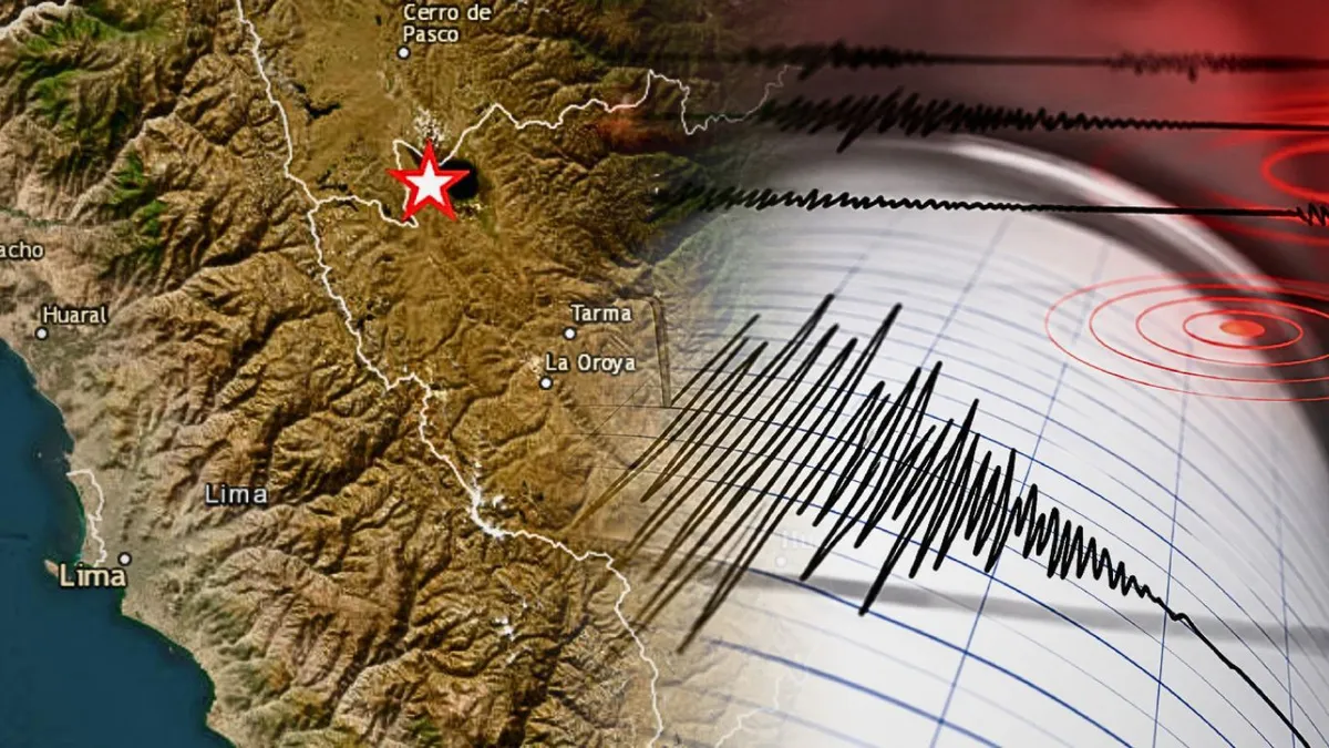
Magnitude 6.7 Earthquake Shakes Junin Region, Felt in Lima
A magnitude 6.7 earthquake struck Junin on November 20, 2026, at 7:09 p.m., with tremors felt in Lima and Callao.

Retrial begins for ex-Uber driver accused of Palisades Fire arson
Jonathan Rinderknecht faces a second jury trial over the January 2025 Palisades Fire after the first jury deadlocked.
- Argentina weather agency issues yellow alerts for storms and winds across provinces
- Storm kills three and damages thousands of homes in Rio Grande do Sul
- Washington pulp mill had repeated safety violations before tank rupture killed 11 workers
- Eight-Day Search Continues for Missing 80-Year-Old in Kocaeli
- Lahore AQI hits 465 as Punjab demolishes over 1,400 brick kilns in smog crackdown
This page was compiled with AI assistance from the outlets named above and passed an automated language check before publication. Montegre has no reporters of its own; the byline names the outlets the story was compiled from. Method and editorial standards