Heavy rain and flood warnings persist across southern British Columbia
Environment Canada warns of up to 250 millimetres of rain in parts of B.C. through Thursday morning.
KEY POINTS
- Environment Canada warns up to 250 millimetres of rain could fall in parts of B.C. through Thursday morning
- Orange rainfall warnings cover west and central Vancouver Island, Howe Sound, the Sea to Sky Highway, and Squamish to Whistler
- Yellow rainfall warnings are in place for Nanoose to Campbell River and the Sunshine Coast
- A flood watch covers parts of the south coast, much of Vancouver Island, parts of the central coast, and Fraser Valley north
- Localized flooding is likely and some roads could become impassable
Environment Canada has issued orange rainfall warnings for west and central Vancouver Island, forecasting 150 to 200 millimetres of rain with some areas potentially exceeding 250 millimetres over the coming days. A very robust frontal system continues to affect the island, with rainfall expected to intensify Tuesday afternoon, overnight, and through much of Wednesday. Rainfall rates could reach up to 20 millimetres per hour at times.
An orange rainfall warning is also active for Howe Sound, the Sea to Sky Highway, and Squamish to Whistler, where 120 to 160 millimetres of rain and possibly more are expected. The south coast is expected to see the system arrive early Tuesday morning, with rainfall rates of five to 10 millimetres per hour persisting for several hours overnight.
“very robust frontal system”
Other parts of Vancouver Island, including Nanoose to Campbell River, and the Sunshine Coast are under yellow rainfall warnings. These regions can expect 50 to 100 millimetres of rain through Wednesday night, with Qualicum Beach to Courtenay forecast to receive the highest amounts. Metro Vancouver could see up to 50 millimetres of rain through Wednesday morning.
A flood watch is in effect for parts of the south coast, much of Vancouver Island, parts of the central coast, and Fraser Valley north, according to the Water, Land and Resource Stewardship Ministry. The watch was issued Monday afternoon. Localized flooding is likely, and some roads could become impassable.
Temperatures are expected to remain warm through Wednesday, which could contribute to potential snowmelt. Rain is expected to ease on Vancouver Island on Wednesday and continue on Thursday, but another storm is forecast to hit the island on Friday.
2 more sources below
COMMENTS (0)
No comments yet. Be the first.
RELATED STORIES
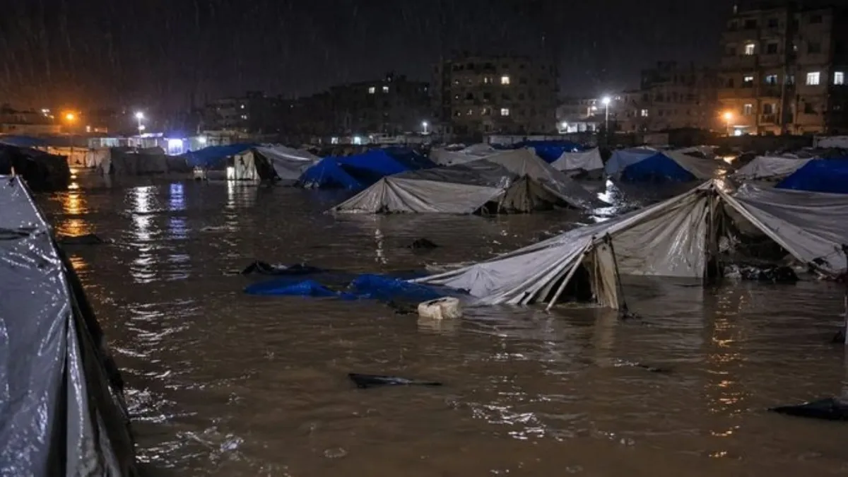
Gaza Peace Board Urges Israel to Allow Winter Aid Amid Flooding Crisis
The Board of Peace calls for immediate entry of shelter and sanitation supplies after storms flood tens of thousands of tents in Gaza.

Four dead in Cali-Buenaventura tunnel crash involving bus and truck
A collision inside Tunnel 6 on the Cali-Buenaventura highway killed four people and injured seven others.

Greek Heating Allowance Platform Opens for 2026-2027 Winter Season
Building administrators must register heating cost shares by December 4 so tenants can apply for the winter heating subsidy.
- Mamdani Announces $25 Million Winter Emergency Plan for New York City
- Super El Niño raises drought and water shortage concerns for North Okanagan in 2027
- Lahore tops world pollution list as AQI hits 590
- Canary Islands declare migration emergency as thousands arrive in November
- Portugal braces for severe weather as Lisbon floods and schools close
This page was compiled with AI assistance from the outlets named above and passed an automated language check before publication. Montegre has no reporters of its own; the byline names the outlets the story was compiled from. Method and editorial standards