Severe Storms Hit Western Greece, Cold Front Brings Temperature Drop From Tuesday
A low-pressure system from Italy triggers intense thunderstorms in the Ionian and Epirus regions Saturday night, followed by a sharp nationwide cooldown and mountain snow mid-week.

KEY POINTS
- Low-pressure system from Italy triggers severe storms in western Greece Saturday night
- Corfu and Epirus face highest intensity; risk of local flooding and 7 Beaufort gusts
- Sharp temperature divide: 31°C in east vs. stormy west before front passage
- Cold front sweeps east Sunday; new deterioration with cold and mountain snow from Tuesday
A barometric low moving from Italy toward Greece brought severe weather to western regions starting Saturday afternoon. The Ionian islands, particularly Corfu, and the Epirus region faced the most intense thunderstorms and heavy rainfall Saturday night into early Sunday. Meteorologist Sakis Arnaoutoglou warned these areas require "particular attention" due to potential local flooding.
Southerly winds reached 5-6 Beaufort in the Ionian Sea, gusting to 7 Beaufort near Corfu during the evening storms. While Athens and Thessaloniki saw only isolated showers Saturday, a sharp temperature contrast persisted, with eastern areas like Fthiotida recording highs near 31°C before the front arrived.
“Particular attention is needed there, as the amount of water and intensity of phenomena may cause local problems.”
The cold front began crossing the country Sunday, spreading rain and storms eastward toward Central and Northern Greece, including the Sporades. Thrace remained largely unaffected until evening. Conditions are expected to improve temporarily in western areas by Sunday afternoon.
A new weather deterioration is forecast from Tuesday, October 13, as a fresh system moves south from the north. This will bring strong storms mainly to eastern regions, a noticeable temperature drop nationwide, and snowfall in mountainous areas. Gradual improvement is expected by Wednesday evening.
5 more sources below
COMMENTS (0)
No comments yet. Be the first.
RELATED STORIES

Malatya Faces Week of Heavy Rain, Thunderstorms, Yellow Alerts
Meteorology Directorate forecasts strong downpours, local hail, and flash-flood risk across Malatya and surrounding provinces through mid-October.
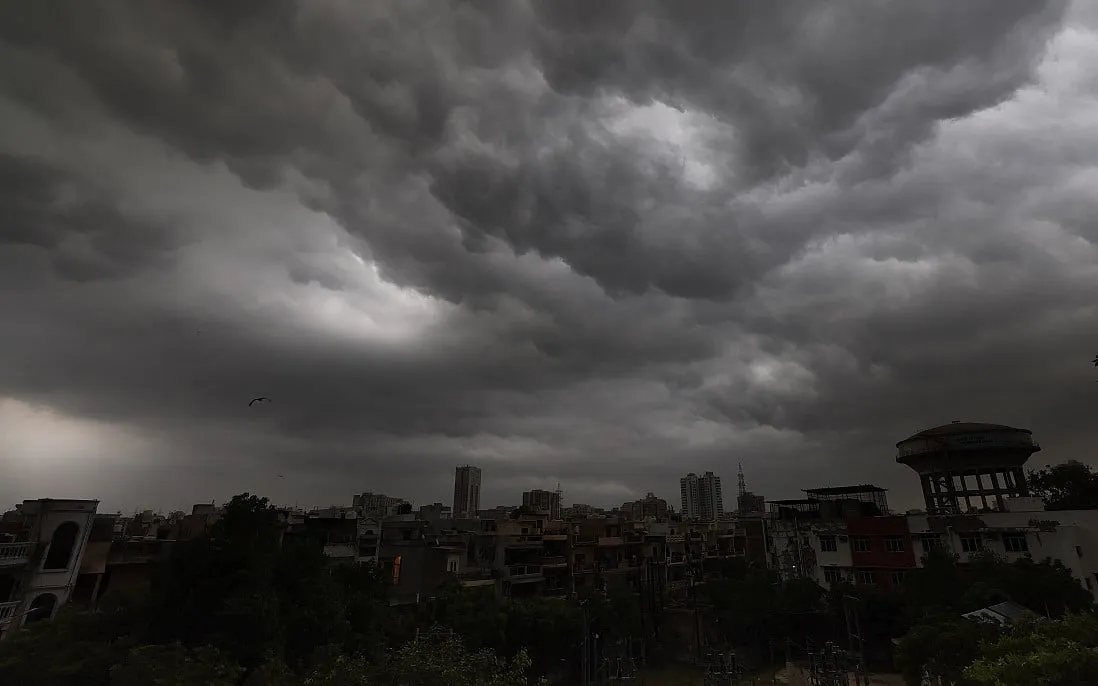
Heavy Rain, Thunderstorms Hit Delhi; IMD Issues 24-State Alert
Monsoon withdrawal triggers widespread storms, waterlogging in capital and heavy rain warnings across India.

Tropical Storm Rachel Triggers Severe Coastal Flooding Across Southern California
High tides and massive swells overwhelm beach communities from Newport Beach to Long Beach as the storm approaches.
- Spain Prepares for National Day Military Parade in Madrid
- Verstappen claims Singapore sprint pole and win, Russell penalised for Sunday
- El Nino drives record Pacific heat in September, EU monitor says
- Hurricane Isaias Hits Florida Panhandle, Leaves 448,000 Without Power
- Hurricane Simon Strengthens to Category 4, Threatens Mexico's Pacific Coast
This page was compiled with AI assistance from the outlets named above and passed an automated language check before publication. Montegre has no reporters of its own; the byline names the outlets the story was compiled from. Method and editorial standards