Stormy weather hits Cyclades and mainland Greece on October 27
Rain, thunderstorms, hail, snow, and strong winds are forecast across Greece on Tuesday, October 27, 2026.

KEY POINTS
- Rain and thunderstorms hit the Cyclades and mainland Greece on October 27
- Temperatures in the Cyclades range from 10 to 19 degrees Celsius
- Snow expected in mountainous areas above 1,300 to 1,500 meters
- Winds reach up to 8 Beaufort at sea
- National Meteorological Service issues dangerous weather bulletin until Wednesday
Unsettled weather continues across the Cyclades on Tuesday, October 27, with rain, possible thunderstorms, and a noticeable drop in temperatures. Meteorologists Sakis Arnaoutoglou, Klearchos Marousakis, and Theodora Kolydas warn of increased caution as the bad weather develops.
The National Observatory of Athens forecasts rain and sporadic thunderstorms in the Aegean, with Cycladic temperatures ranging from 10 to 19 degrees Celsius. Winds in the central and southern Aegean will initially blow from variable directions at 3 to 5 Beaufort before shifting to northerly winds by the afternoon.
“The National Meteorological Service has upgraded its special weather bulletin to a bulletin on dangerous weather phenomena.”
The National Meteorological Service has upgraded its special weather bulletin to a bulletin on dangerous weather phenomena, covering heavy rain and thunderstorms in several areas of eastern Greece at least until Wednesday.
Nationwide, strong rain and thunderstorms are expected on Tuesday, with a possibility of local hail. Mainland areas including Thessaly, the Sporades, Evia, eastern Central Greece including Attica, eastern Aegean islands, and the Dodecanese will be mainly affected.
Snow is expected in the mountainous areas of central and western Greece, particularly in Thessaly toward evening in areas above 1,300 to 1,500 meters. Temperatures will drop slightly, mainly in the north and east.
Winds will blow mainly from northern directions at 4 to 6 Beaufort, locally reaching 7 and possibly 8 Beaufort at sea. The southeast Aegean is an exception, where southerly winds up to 5 Beaufort will prevail.
3 more sources below
COMMENTS (0)
No comments yet. Be the first.
RELATED STORIES
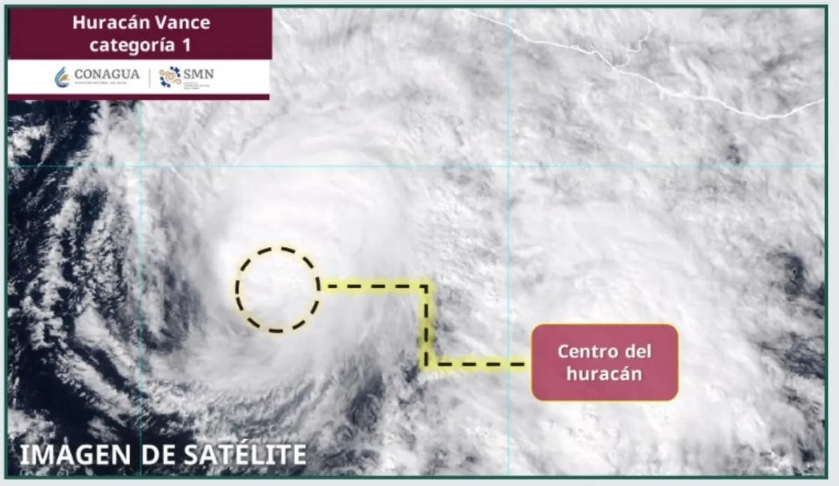
Tropical Storm Vance weakens to Category 1 off Mexico's Pacific coast
Tropical Storm Vance remains off Mexico's Pacific coast, bringing heavy rain and strong winds to several western and southern states.

Oxford Street vehicle ban begins ahead of Christmas shopping season
A one-kilometre stretch of London’s Oxford Street becomes vehicle-free from October 26, with buses rerouted and limited crossing points retained.

Greenhouse gas concentrations hit record high in 2025, WMO says
The World Meteorological Organization reports atmospheric CO2, methane, and nitrous oxide reached unprecedented levels last year.
- Fourth hearing held in Şile Municipality corruption case
- Engineers warn unplanned urbanization turned heavy rain into disaster
- Heavy Rain Floods Istanbul's Asian Side, D-100 Partially Closed
- Romanian intelligence identifies Russian sabotage network behind Carfil factory fire
- Greece puts nine regions on Red Code weather alert through Thursday
This page was compiled with AI assistance from the outlets named above and passed an automated language check before publication. Montegre has no reporters of its own; the byline names the outlets the story was compiled from. Method and editorial standards